Maps of Florida Home > Florida Map Collection > Saint Augustine Map
Inner City Map of Saint Augustine
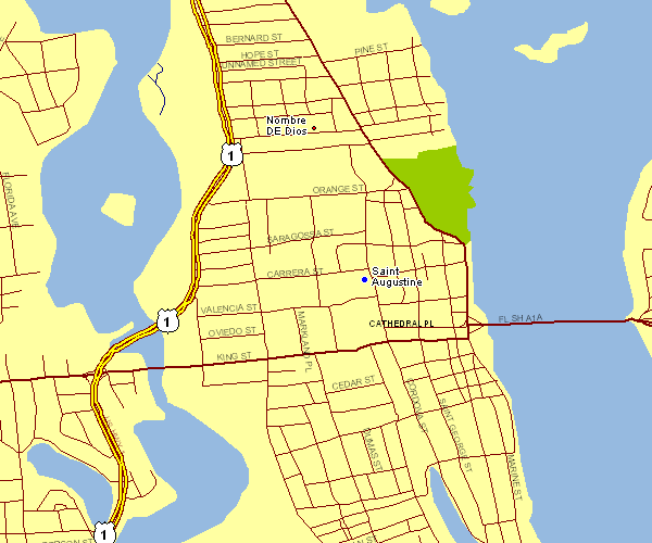
This image is a basic plan setting out the spatial relationships of this locale with a classic variety of map components.
Of course, you can use the map image and use it for a variety of purposes. Giving credit to this webpage would be awesome.
In the event you want assistance acquiring a map, a specific map, or want a first-class specially made cartographic design, just contact us.
Procure good custom-made maps from us. A tailor-made product produced by us contain a generous assortment of map components, for instance: highways, scale bar, UTM coordinates, cities, marine navigation features, territories, geographical areas, or rapids, etc. Types of maps reach from regional to wall, large-print to small-print, counties to public use microdata areas.
First-Class maps are detailed, all-encompassing, and not obsolete. Finest map design by YellowMaps.
To procure actual maps that get delivered in the mail to your home, such as navigational charts, country maps, or topo maps, please do not hesitate to visit our map store It contains over 100,000 maps.
Contact us about international topographic maps too. We will try to get you any map that is currently in circulation.
Back to Florida map collection