Maps of Florida Home > Florida Map Collection > Map of Jacksonville
Street Map of Jacksonville
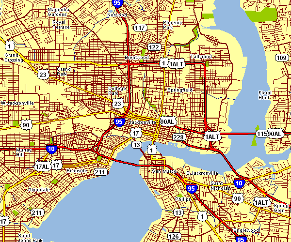
Above is a classic chart that displays the geography of this area with a simple assortment of map components.
You may share this map and work with it in your projects. Giving credit to this source would be helpful.
If you need support locating a map, a distinct kind of map, or need a nice custom-built product, simply email us.
Purchase first-rate tailor-made maps from us. A custom map made by us encompass a good medley of map components, for instance: boulevards, legend, UTM coordinates, air navigation features, lakes, territories, craters, or recreational sites, etc. Types of custom maps range from historical to cartogram, folded to rolled, national to consolidated cities.
Nice maps are exact, clear-cut, and not unclear. Distinguished cartography by YellowMaps.
To procure physical maps, for instance recreation atlases, folded maps, or maps showing elevation, please dive into our online map shop We have a collection of over 100,000 map items.
Maps are just so interesting.
Back to Florida map collection